विहंगावलोकन, उद्भव एवं इतिहास
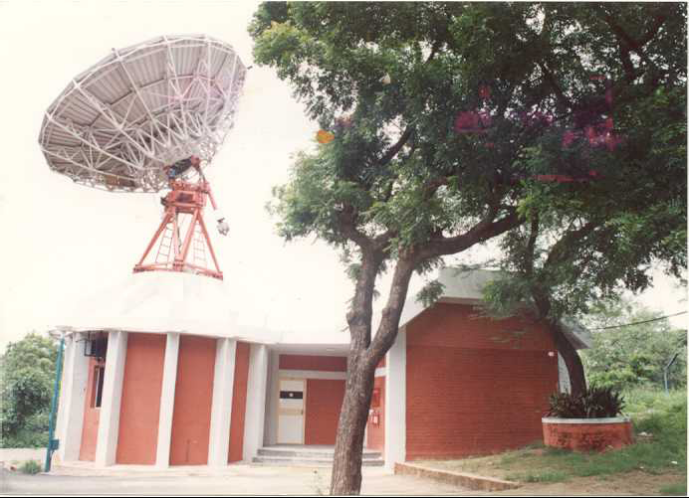
सन् 1966 में ऐतिहासिक अहमदाबाद भू केंद्र
विहंगावलोकन:
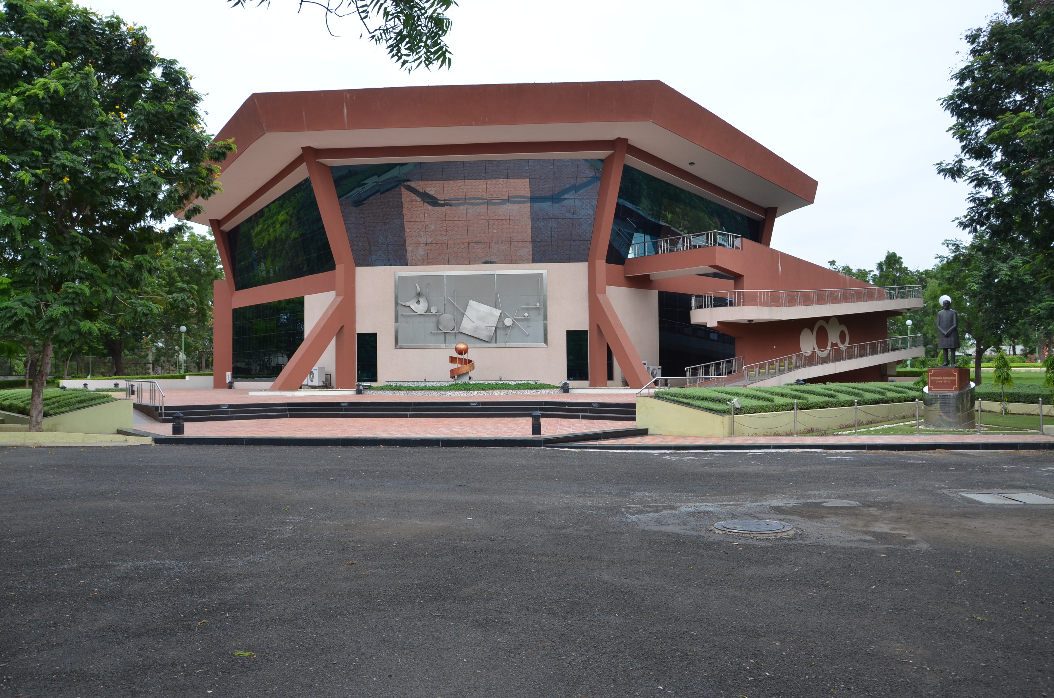
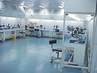
अंतरिक्ष उपयोग केंद्र (सैक), भारतीय अंतरिक्ष अनुसंधान संगठन (इसरो) का एक प्रमुख अनुसंधान और विकास केंद्र है। यह इसरो के उद्देश्यों और मिशन को साकार करने में एक महत्वपूर्ण भूमिका निभाता है। अहमदाबाद में स्थित, सैक बहुआयामी गतिविधियों के साथ दो परिसरों में फैला हुआ है।
अंतरिक्ष जनित और हवाई उपकरणों और राष्ट्रीय विकास और सामाजिक लाभार्थ अनुप्रयोगों विकास में केंद्र की केंद्रीय क्षमता निहित है। इन अनुप्रयोगों के क्षेत्र विविध हैं और मुख्य रूप से देश के संचार, नौवहन और सुदूर संवेदन आवश्यकताओं को पूर्ण करते हैं। इसके अलावा केंद्र ने चंद्रयान-1, मंगल कक्षित्र मिशन इत्यादि जैसे इसरो के वैज्ञानिक और ग्रहीय मिशनों में भी महत्वपूर्ण योगदान दिया है ।
भारतीय राष्ट्रीय उपग्रह (इन्सैट) और भू तुल्यकालिक उपग्रह (जीसैट) उपग्रहों की श्रृंखला के लिए इस केंद्र में विकसित संचार ट्रांसपोंडर वीएसएटी, डीटीएच, इंटरनेट, प्रसारण, टेलीफोनी आदि हेतु सरकार और निजी क्षेत्र द्वारा उपयोग किया जाता है देश के दूरस्थ भागों में पहुंचने के लिए इन उपग्रहों ने महत्वपूर्ण भूमिका निभाई है ।
इसरो का भू-प्रेक्षण (ईओ) कार्यक्रम विश्व के भू-प्रेक्षण कार्यक्रमों में सबसे अच्छा है। इस केंद्र में उपग्रहों के लिए प्रकाशिक और सूक्ष्म तरंग संवेदकों, संकेत तथा प्रतिबिंब संसाधित्र सॉफ्टवेयर, जीआईएस सॉफ्टवेयर और कई अनुप्रयोग डिजाइन एवं विकसित किए जाते हैं। भूविज्ञान, कृषि, पर्यावरण और जलवायु परिवर्तन, भौतिकी समुद्र विज्ञान, जीव समुद्र विज्ञान, वायुमंडल, हिमांकमंडल, जलमंडल आदि इन अनुप्रयोगों के विभिन्न क्षेत्र हैं
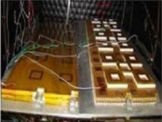
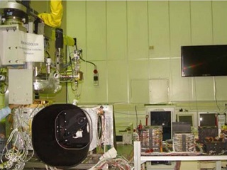
सैक ने अत्याधुनिक नीतभार एकीकरण प्रयोगशालाएं, इलेक्ट्रॉनिक और यांत्रिक निर्माण की सुविधाएं, पर्यावरण परीक्षण सुविधाएं, प्रणाली विश्वसनीयता / आश्वासन समूह, प्रतिबिंब प्रसंस्करण एंव विश्लेषण सुविधाएं, परियोजना प्रबंधन सहायता समूह और एक सुव्यवस्थित पुस्तकालय है। सैक ने उद्योग, शिक्षा, राष्ट्रीय और अंतरराष्ट्रीय संस्थानों को अनुसंधान और विकास के लिए सक्रिय सहयोग दिया। सैक में छात्रों और जनता के बीच अंतरिक्ष प्रौद्योगिकी और अनुप्रयोगों के प्रचार-प्रसार के लिए अत्याधुनिक केंद्र परिसर में एवं मोबाइल प्रदर्शनियां हैं।
केंद्र उपग्रह मौसम विज्ञान और संचार में अंतरिक्ष विज्ञान और प्रौद्योगिकी शिक्षा केंद्र (CSSTEAP) के तत्वावधान में एशिया प्रशांत क्षेत्र के छात्रों के लिए नौ माह का स्नातकोत्तर डिप्लोमा पाठ्यक्रम संचालित करता है।
उद्भव और इतिहास
स्वर्गीय डॉ. विक्रम साराभाई द्वारा अहमदाबाद में प्रायोगिक संचार उपग्रह पृथ्वी स्टेशन (ईएससीईसी) की स्थापना के साथ 1966 में केंद्र की स्थापना का शुभारंभ किया गया। यह एक प्रायोगिक भू-केंद्र और प्रशिक्षण केंद्र था, जहाँ भारत के वैज्ञानिक एवं इंजीनियर तथा अन्य विकासशील देश संचार और प्रसारण के लिए भूकेंद्र का डिजाइन, विकास और संचालन में प्रशिक्षण और प्रत्यक्ष अनुभव प्राप्त कर सकें।
बाद में 1972 में, अहमदाबाद में स्थित अंतरिक्ष प्रौद्योगिकी के अनुप्रयोगों में अनुसंधान करने वाली इसरो की विभिन्न इकाइयों का विलय करके सैक का गठन किया गया।
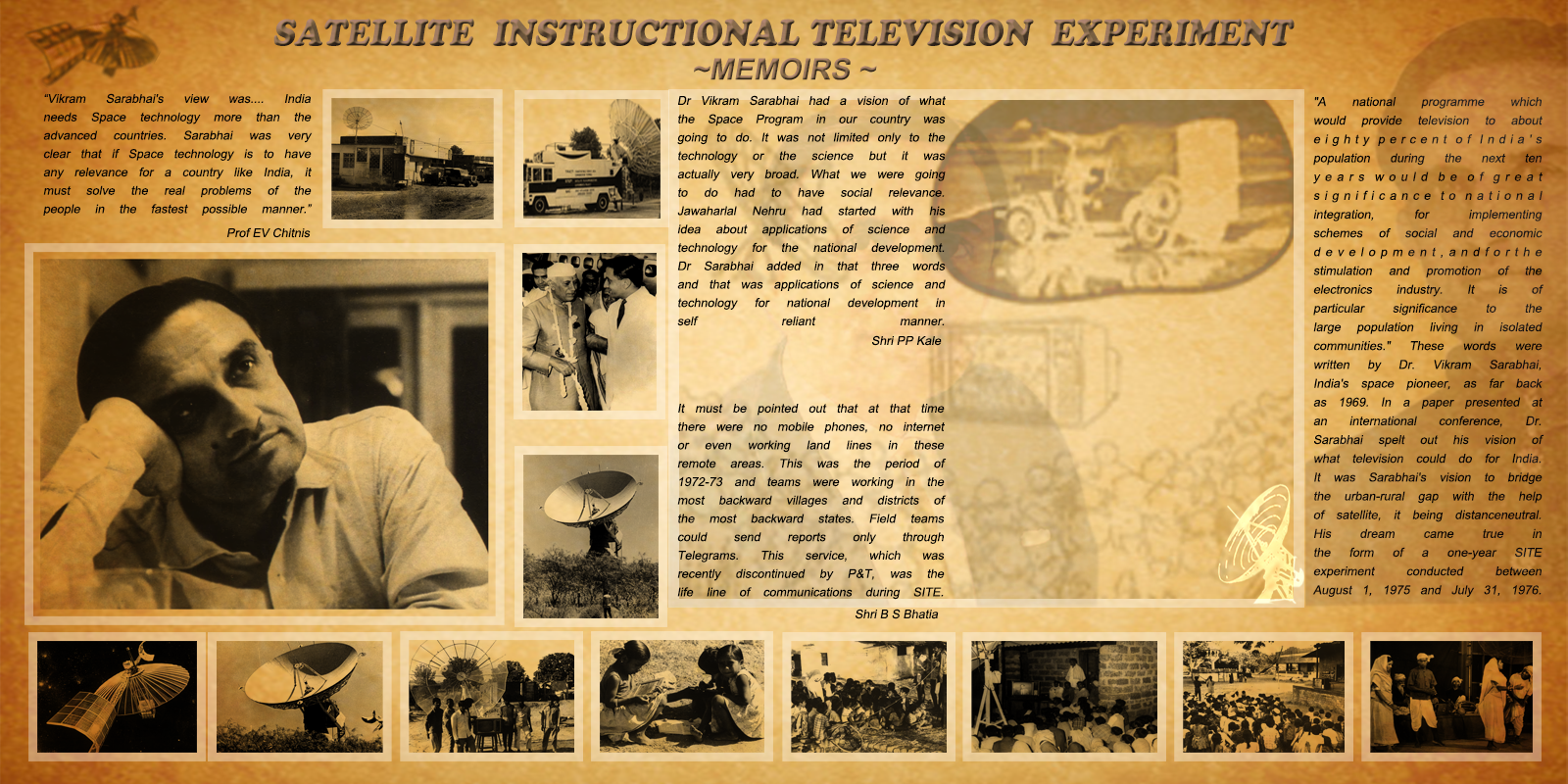
1975-76 के दौरान अमेरिकी एटीएस-6 उपग्रह का उपयोग करते हुए उपग्रह निर्देशात्मक टेलीविजन प्रयोग (साइट) नामक एक अनूठा प्रयोग किया गया। इसमें प्रायोगिक साधे अभिग्रहण सैटों के माध्यम से छह राज्यों के 2400 गांवों को कवर करते हुए ग्रामीण भारत के सामाजिक-आर्थिक उत्थान के उद्देश्य से शैक्षिक कार्यक्रमों का प्रसारण शामिल किया गया। साइट के बाद फ्रेंको-जर्मन उपग्रह, सिम्फनी के साथ उपग्रह दूरसंचार प्रयोग परियोजना (स्टेप) संचार तकनीक विकास परियोजना की गई।
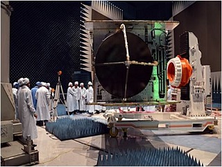
सैक में भारत के पहले प्रायोगिक संचार उपग्रह “एप्पल” को डिजाइन, संविरचित और अर्हता प्रदान की गई। यह एरियान की पहली प्रायोगिक उड़ान पर प्रमोचित किया गया। एप्पल उपयोगिता कार्यक्रम (एयूपी) नामक एक संपूर्ण संचार अनुप्रयोगों कार्यक्रम की भी परिकल्पना की गई और एक साथ संपन्न किया गया।
देश की भिन्न प्रकार की आवश्यकताओं के अनुसार अमेरिकी कंपनी द्वारा उपग्रह की इन्सैट-1 श्रृंखला का अनुकूलित डिजाइन और निर्माण किया गया। वर्ष 1992, 1993, 1995, 1997 और 1999 में प्रमोचित क्रमशः इन्सैट 2ए, 2बी, -2, 2 डी और 2 ई, को सैक में स्वदेशी रूप से डिजाइन, संविरचित, अर्हता प्रदान की गई।
इसरो का वर्तमान सुदूर संवेदन कार्यक्रम सन् 1970 के पूर्वार्ध में शुरू हुआ। सुदूर संवेदन के लिए गुब्बारा प्रयोग और उसके बाद में हवाई फोटोग्राफी के साथ नीतभार विकास शुरू किया गया था। इसके साथ विदेशी उपग्रहों और देश में ही विकसित और हवाई तापीय स्कैनर से प्राप्त आंकड़ों के साथ मौसमविज्ञान के क्षेत्र में गतिविधियाँ शूरू की गईं।
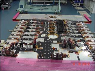
पहले चरण में हवाई तापीय संवेदक, बहुवर्णक्रमी स्कैनर, रैखिक चार्ज युग्मित डिवाइस (सीसीडी) कैमरा, साइड लुकिंग रेडार, रंगीन इन्फ्रारेड (सीआईआर) आधारित फोटो प्रणालियां और अनेक फोटो विश्लेषक और भू वास्तविकता उपकरणों का विकास किया गया। उपर्युक्त प्रारंभिक कार्यों के आधार पर, इन उपकरणों के उपयोग से एक सशक्त अनुप्रयोग कार्यक्रम विकसित किया गया। इसी अवधि के दौरान अंतरिक्षवाह्य संवेदकों की बुनियाद रखी गई। इस 'भू प्रेक्षण (एसईओ) के लिए उपग्रह' कार्यक्रम के तहत, भास्कर नामक 2 उपग्रहों को रूसी प्रमोचन यान पर प्रमोचित किया गया। भास्कर में एक 2 किमी विभेदन 2 बैंड टीवी कैमरा सिस्टम और एक तीन चैनल सूक्ष्मतरंग रेडियोमीटर लगाए गए थे। ये केंद्र में डिजाइन, विकसित किए गए तथा सफलतापूर्वक अर्हता प्राप्त की गई। भास्कर-I और II पहले भारतीय मौसम उपग्रह थे जिनमें मौसम संबंधी अध्ययन में उपयोग के लिए समुद्र स्थिति और वायुमंडलीय जल वाष्प सामग्री के बारे में जानकारी प्राप्त करने के लिए समीर नामक सूक्ष्मतरंग रेडियोमीटर लगाए गए।
1980 का दूसरा चरण प्रयोगात्मक उपग्रहों के आरंभिक प्रयासों के परिणामों का गवाह बना। आईआरएस 1ए कार्यक्रम का सफलतापूर्वक शुरू किया गया और उपयोगकर्ताओं ने 36 मी. विभेदन के साथ बहुवर्णक्रमी चित्र प्राप्त करना शुरू कर दिया। कृषि, जल विज्ञान, भूविज्ञान और अन्य क्षेत्रों में प्रमुख अनुप्रयोगों को उपयोगकर्ता एजेंसियों के साथ गहन विचार-विमर्श के साथ परिभाषित किया गया और आईआरएस उपयोग कार्यक्रम सफलतापूर्वक किया गया। इन प्रयासों ने आईआरएस 1 ए डेटा के अर्द्ध परिचालन अनुप्रयोगों का नेतृत्व किया।