

Earth Observation Applications
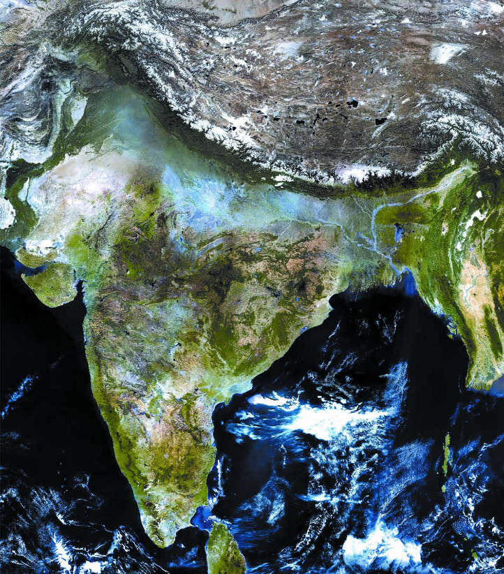
The Indian Remote sensing programme is driven by the user needs. In fact, the first remote sensing based pilot project was carried out to identify coconut root-wilt disease in Kerala way back in 1970. This pilot project led the development of Indian Remote Sensing (IRS) satellites. Varieties of instruments have been flown on-board the IRS satellites to provide necessary data in a diversified spatial, spectral and temporal resolutions to cater to different user requirements in the country and for global usage.
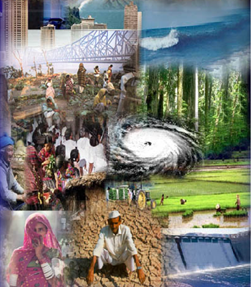
Advanced Research focuses on numerical and spatial modelling using image processing and GIS tools for applications like crop yield and weather forecasting, dynamics of atmosphere, oceans, coasts and ecosystem and use of microwave data for various applications.
The EO applications developed at the centre are key ingredient in the programmes of the government at the Centre and State.
The centre pursues R&D in various field of EO which include:
